Brahmaputra
Dibrugarh to Dhubri. Flow signal: East to west.
Public data dashboard
Current public snapshot, district impact map, water-level trends, government helplines, and official live-source links in one visual dashboard.
Official portal reviewed: 26 July 2026. Confirm live readings before field decisions.
Flood flow heat map
A visual layer showing major river flow direction, affected corridors and gauge-risk intensity. Use CWC and Assam Water Resources portals for live gauge confirmation.
Dibrugarh to Dhubri. Flow signal: East to west.
Kampur to Dharamtul. Flow signal: South bank overflow.
A.P. Ghat to Cachar. Flow signal: Valley rise.
Barpeta to Lower Assam. Flow signal: Tributary surge.
Government data snapshot
Figures below are from public reports citing Assam State Disaster Management Authority data for 25 July 2026. Use ASDMA real-time reports for the newest official PDF.
Four more deaths pushed the toll to 66; three were reported from Sivasagar and one from Charaideo.
Latest public ASDMA-cited snapshot for 25 July 2026.
Impact reduced from nine districts on Friday to six on Saturday.
Displaced residents sheltered or assisted by relief camps and aid centres.
Latest visual brief
The dashboard combines public reporting, government updates, water-level references, and official links so people can check the situation quickly before opening source portals.
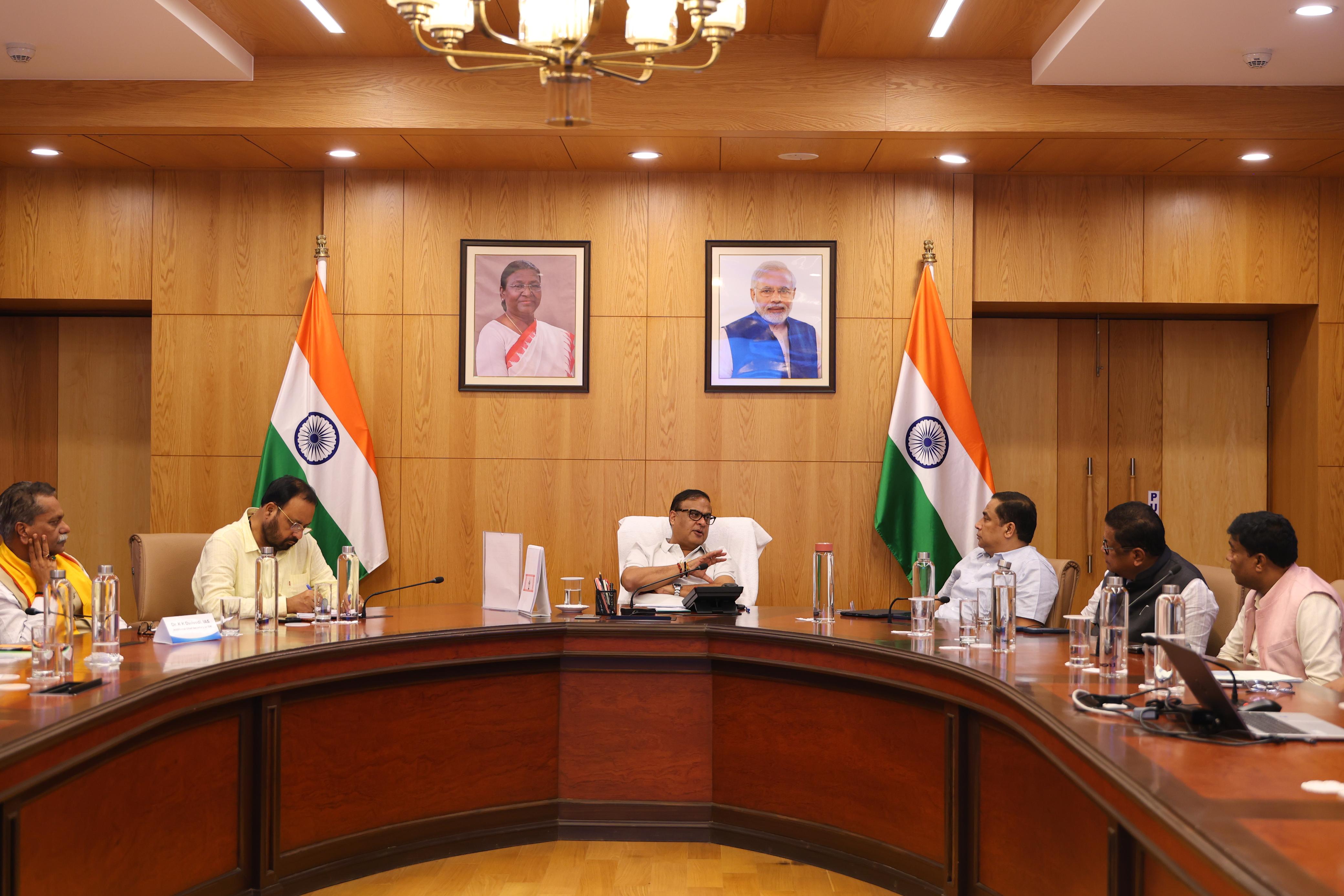
CMO image from the flood review with ministers and senior officials at Lok Sewa Bhawan.
Affected people trend
Public figures show a sharp rise around 24 July and a reported improvement by 25 July. Always confirm with ASDMA before field decisions.
Live verification hub
The dashboard numbers are the latest verified public snapshot available here. For real-time field use, open ASDMA real-time reports and CWC gauges directly.
Daily flood reports are generated from district-submitted disaster data. Use this first for the newest official figures.
Open ASDMA portalUse CWC for current river gauge status, hydrographs and flood forecast stations.
Open CWC gaugesAssam Water Resources lists river-wise danger level and historical highest flood level references.
Open water levelsWhat the Chief Minister said recently
Recent CMO updates focused on uninterrupted relief, health precautions, damage assessment, restoration, and visits to affected districts.
The review covered affected people, embankment, bridge and road damage, relief operations, health precautions, livestock loss assessment, and restoration after water recedes.
The district administration was directed to prioritise essential needs for affected people. The update said Golaghat had 25,791 people affected.
The state said assistance would continue until normalcy is restored, with focus on drinking water, medicines, essential commodities, children, pregnant women and senior citizens.
Live public sources
These links should be used for the newest figures. The dashboard below is designed to be updated from ASDMA, CWC, Assam Water Resources, and ASTEC flood maps.
Impact map
Map markers show districts in the current relief watchlist. Use ASTEC near real-time inundation maps for satellite flood extent before route planning.
Water level graph
Danger levels and historical highest flood levels come from Assam Water Resources. Current readings below are dashboard snapshot values; open CWC for live hydrograph confirmation.
Dhubri, Dhubri
Guwahati D.C. Court, Kamrup
Kampur, Nagaon
A.P. Ghat, Cachar
Images
Official CMO images and contextual river visuals help users understand the situation beyond numbers.
CMO image from the flood review with ministers and senior officials at Lok Sewa Bhawan.
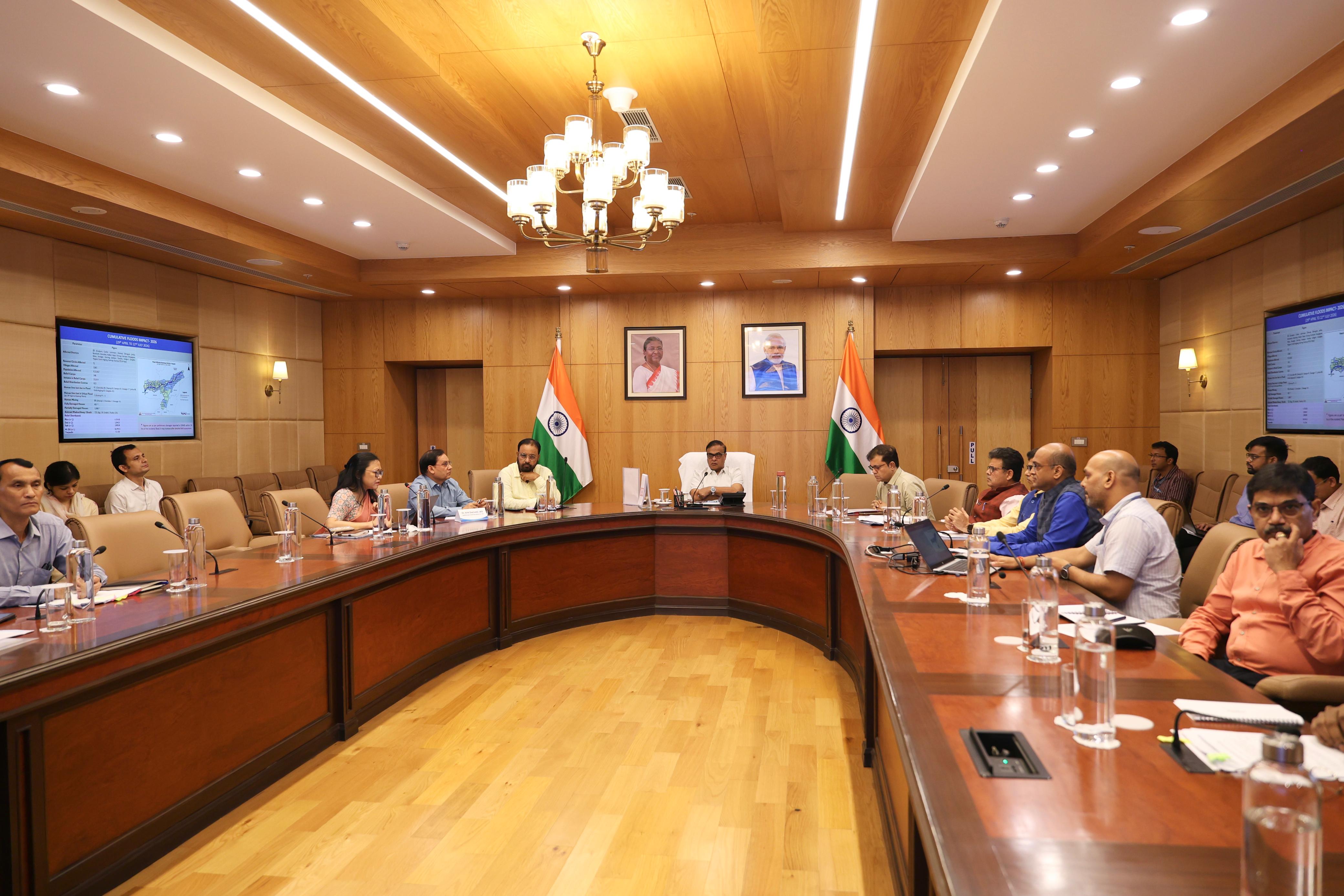
Chief Minister Dr. Himanta Biswa Sarma reviewed flood relief and rehabilitation measures on 23 July 2026.
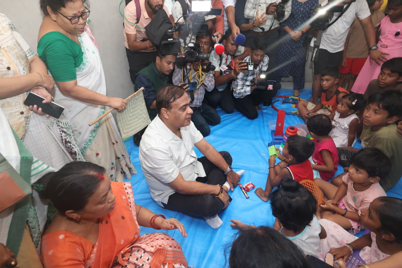
CM visit to relief camps in Golaghat district during the July 2026 flood response.
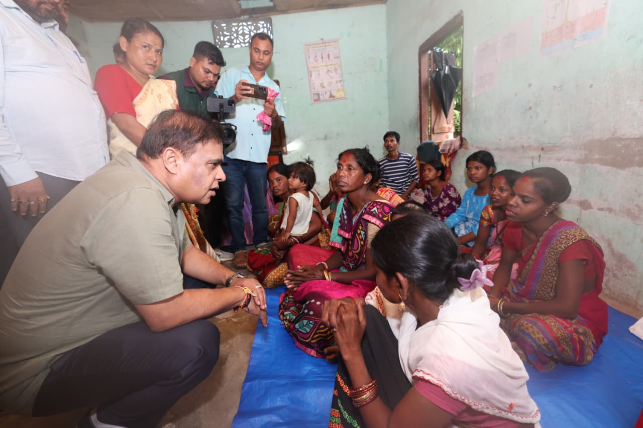
Official CMO image from flood-affected district visit and relief camp inspection.
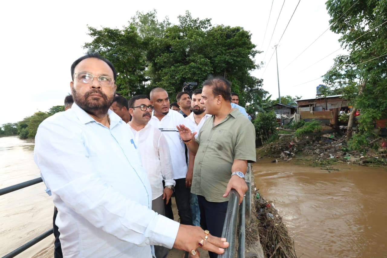
Officials interacting with affected families during flood response visits.
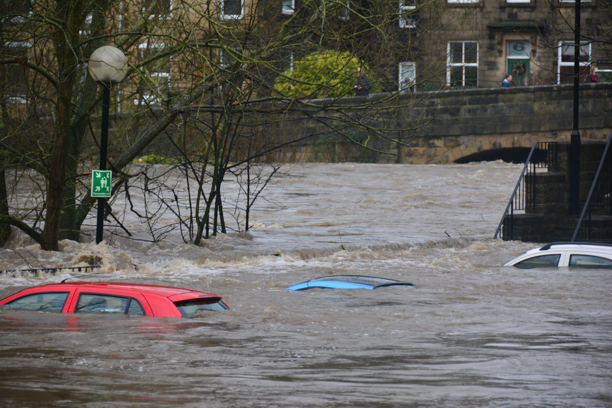
River landscape visual used for flood-risk context and dashboard atmosphere.
Appreciation
A public thank-you board for responders, administrators, volunteers and aid groups supporting affected families. Refresh this list from verified public updates.
Coordinating relief camps, distribution centres, flood reports and district-level emergency response.
Supporting rescue, evacuation and emergency field operations in flood-affected areas.
Placed on standby for evacuation and air-support; public reports mention helicopter relief to cut-off areas.
Helping with evacuation, camp support, route control, supplies and local reporting.
Local and diaspora groups are raising groceries, emergency supplies and support for affected communities.
Government helplines
Call official emergency numbers for rescue, shelter, medical support, or district-level reporting.
Dashboard note
This site is a visual public dashboard. Figures should be refreshed from official sources as new bulletins appear. For rescue, route planning, evacuation, and relief operations, confirm the latest numbers from ASDMA, CWC, district administration, and Assam Water Resources before acting.